
VITON13 SCHOOL · Geography
World map with countries
All 195 countries on one map. Zoom in, tap a country for its flag and capital, test yourself continent by continent, or print a blank map for class.
A country’s name appears; tap it on the map. A miss shows where it is.
No best result yet for these settings.
Keyboard: Tab to the map, the arrow keys move between countries, Enter selects, + and − zoom, 0 shows the whole area.
Tap a country or search for one to see its flag, capital, continent and sub-region.
Keyboard: Tab to the map, the arrow keys move between countries, Enter selects, + and − zoom, 0 shows the whole area.
Drag to move, pinch or scroll to zoom, double-tap to zoom in.
Names that do not fit inside a country become numbers listed under the map. The sheet prints on A4, landscape or portrait to fit the area.
Countries of the world by continent
All 195 countries with their capitals, grouped by continent as on the map.
Africa54 countries
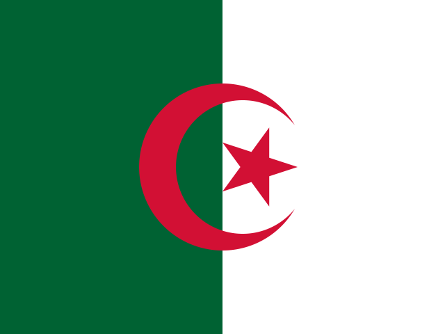 AlgeriaAlgiers
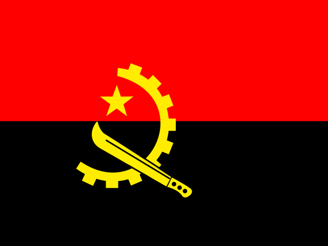 AngolaLuanda
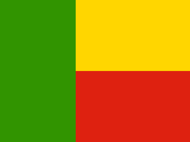 BeninPorto-Novo
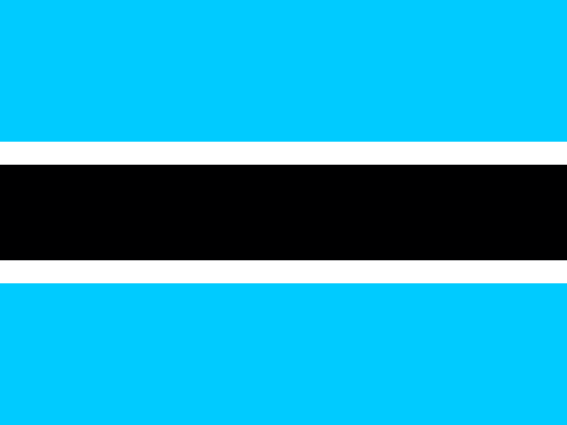 BotswanaGaborone
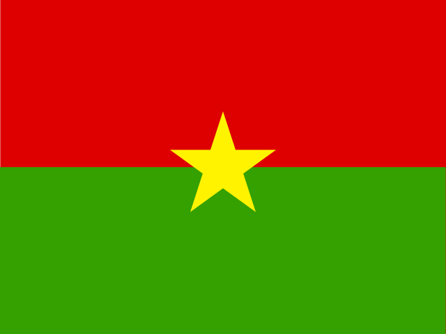 Burkina FasoOuagadougou
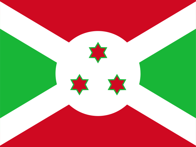 BurundiGitega
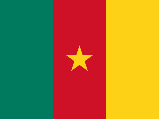 CameroonYaoundé
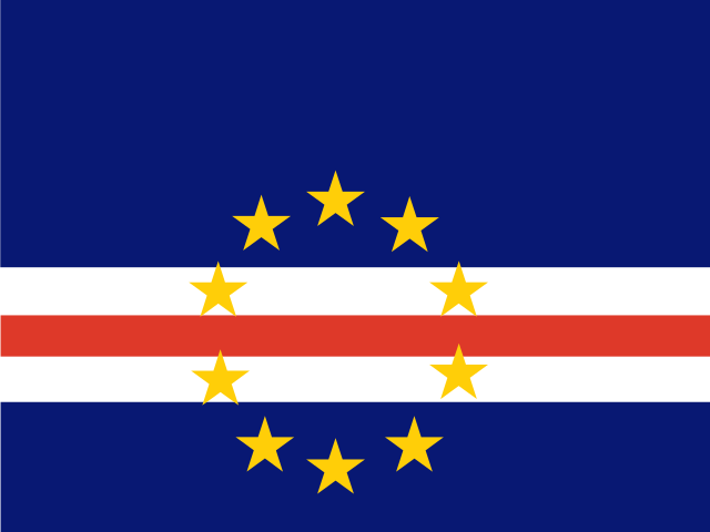 Cape VerdePraia
 Central African RepublicBangui
 ChadN'Djamena
 ComorosMoroni
 Côte d’IvoireYamoussoukro
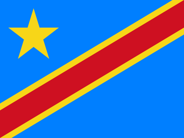 Democratic Republic of the CongoKinshasa
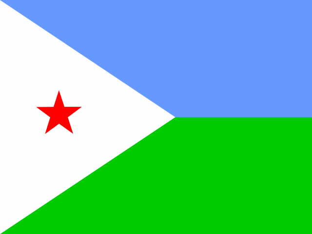 DjiboutiDjibouti
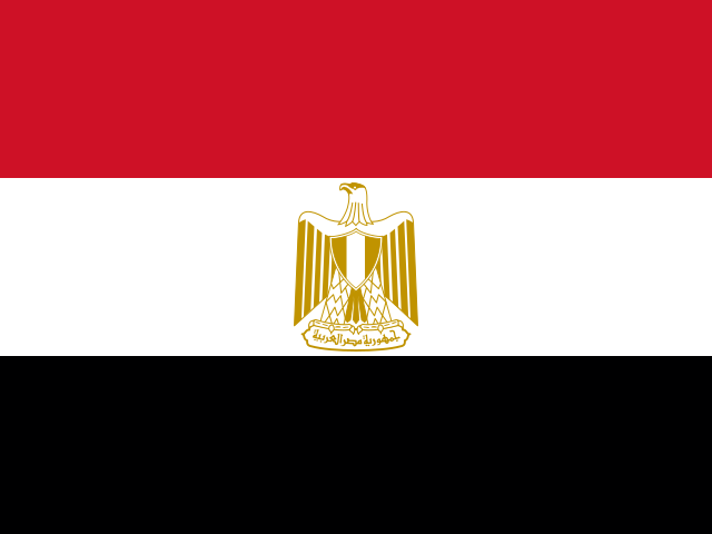 EgyptCairo
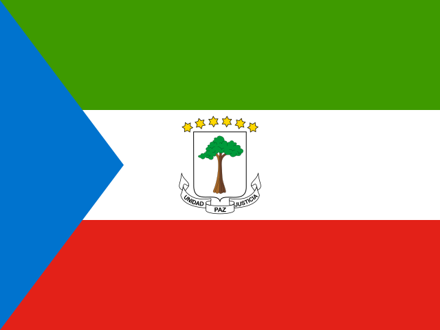 Equatorial GuineaCiudad de la Paz
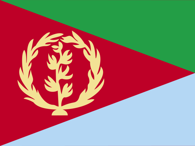 EritreaAsmara
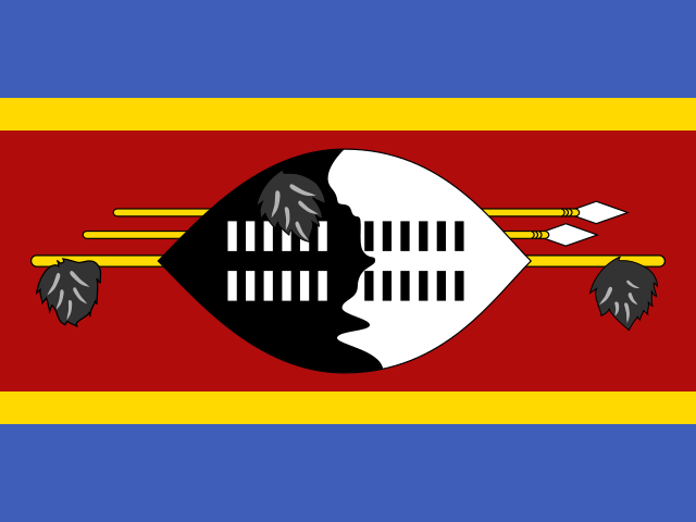 EswatiniMbabane
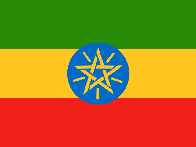 EthiopiaAddis Ababa
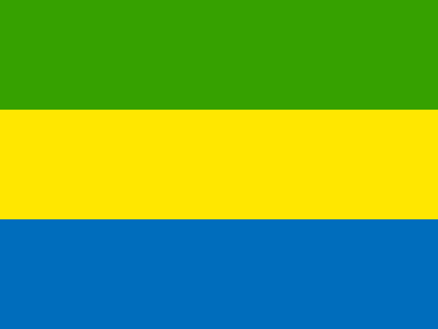 GabonLibreville
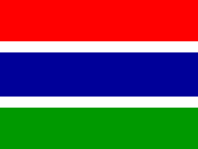 GambiaBanjul
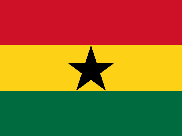 GhanaAccra
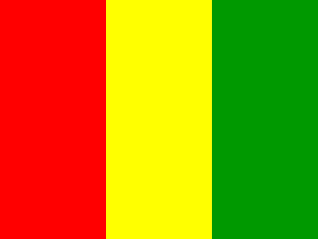 GuineaConakry
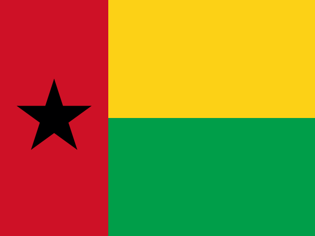 Guinea-BissauBissau
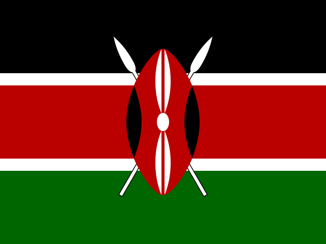 KenyaNairobi
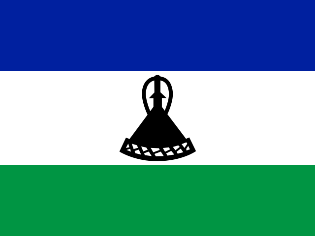 LesothoMaseru
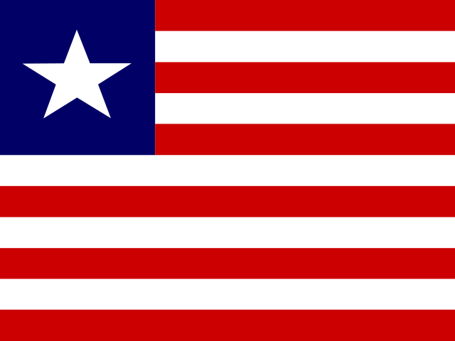 LiberiaMonrovia
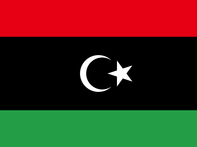 LibyaTripoli
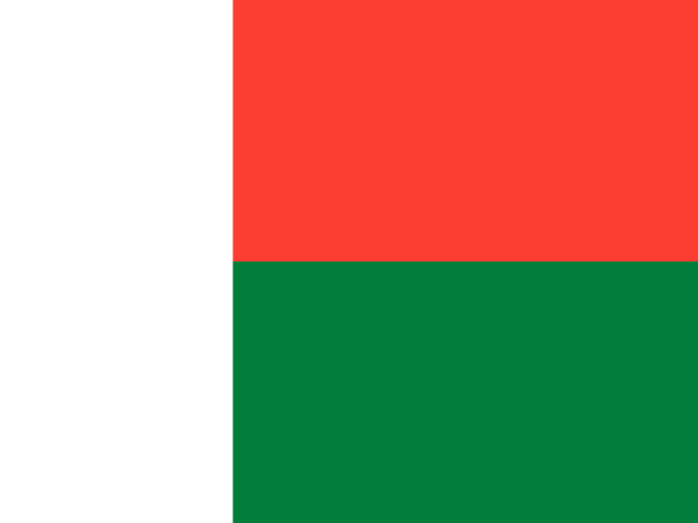 MadagascarAntananarivo
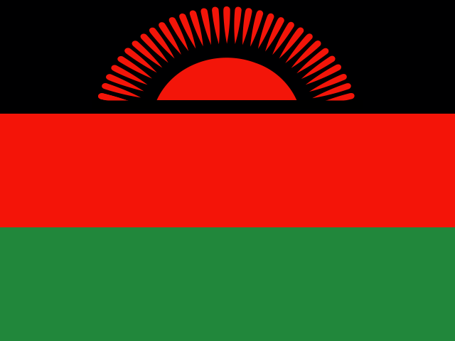 MalawiLilongwe
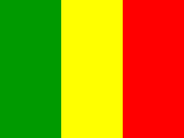 MaliBamako
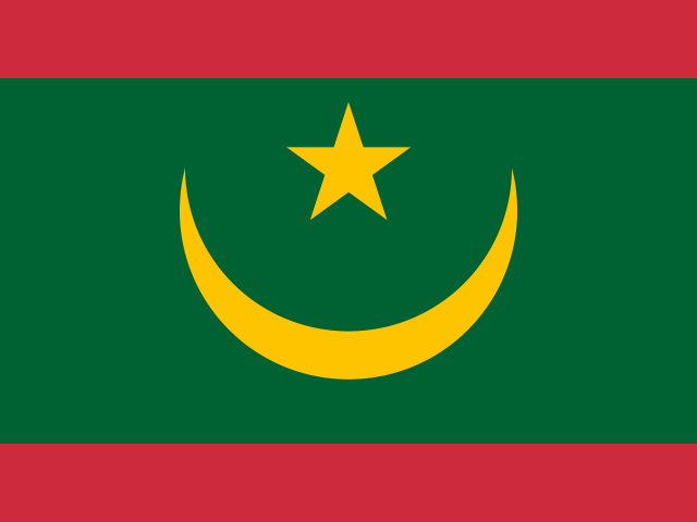 MauritaniaNouakchott
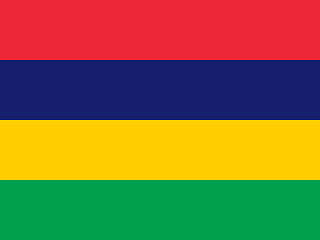 MauritiusPort Louis
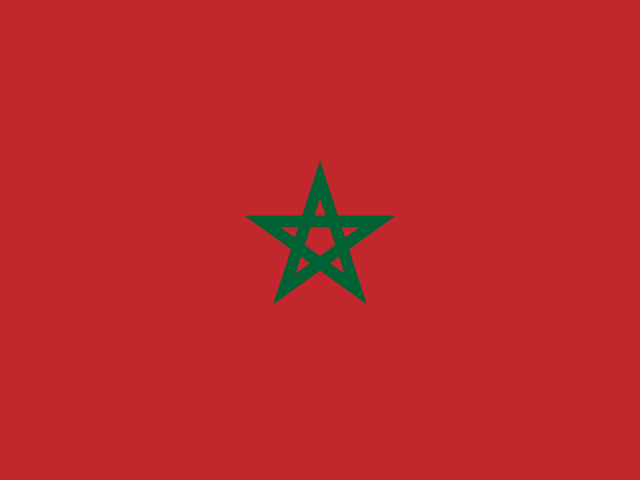 MoroccoRabat
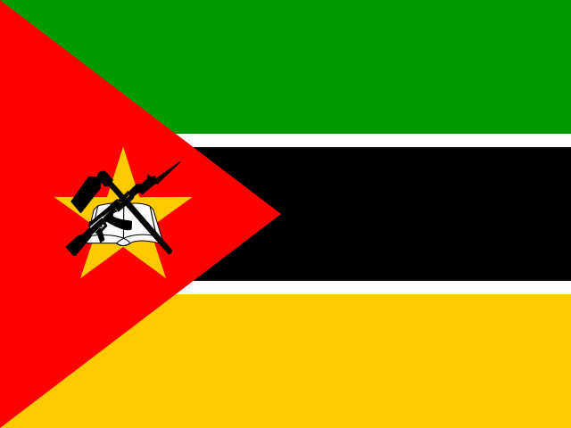 MozambiqueMaputo
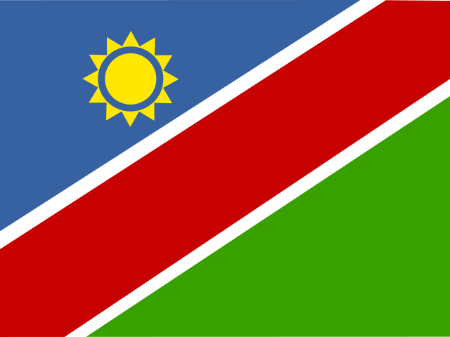 NamibiaWindhoek
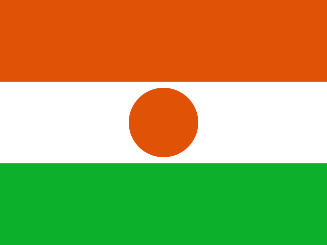 NigerNiamey
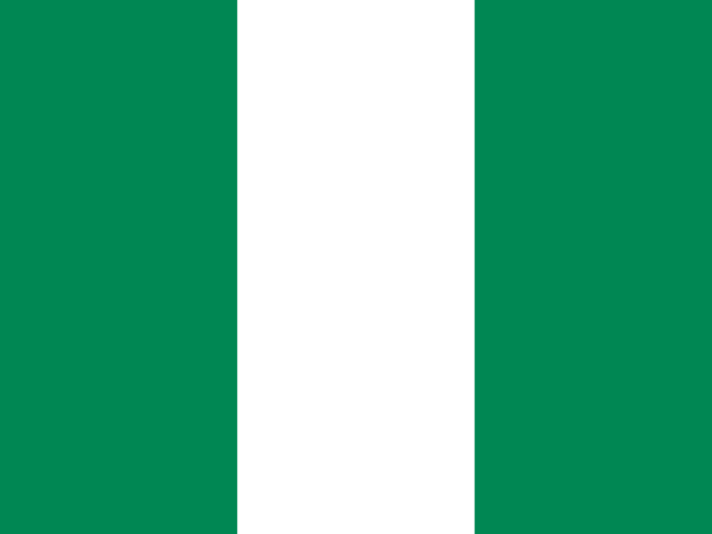 NigeriaAbuja
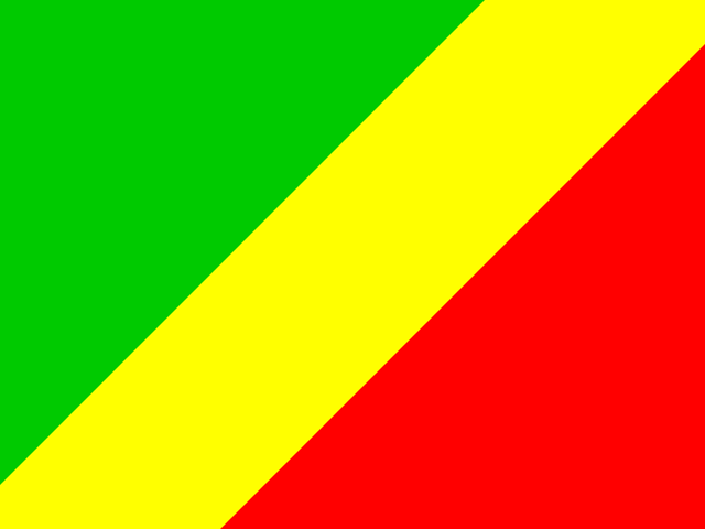 Republic of the CongoBrazzaville
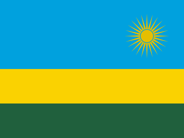 RwandaKigali
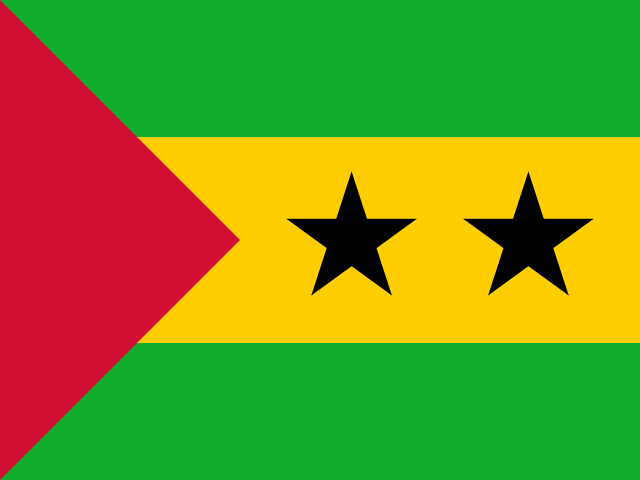 São Tomé and PríncipeSão Tomé
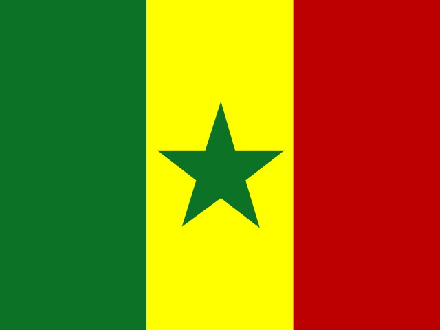 SenegalDakar
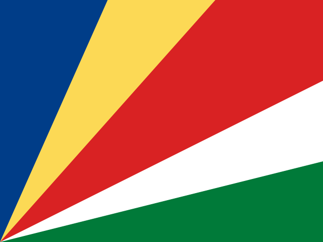 SeychellesVictoria
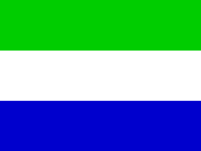 Sierra LeoneFreetown
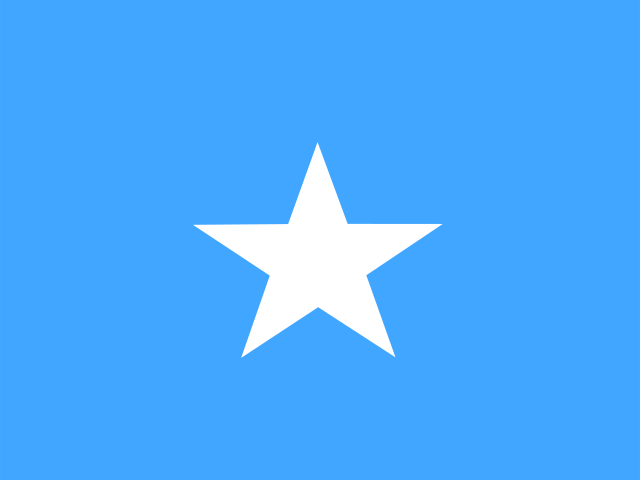 SomaliaMogadishu
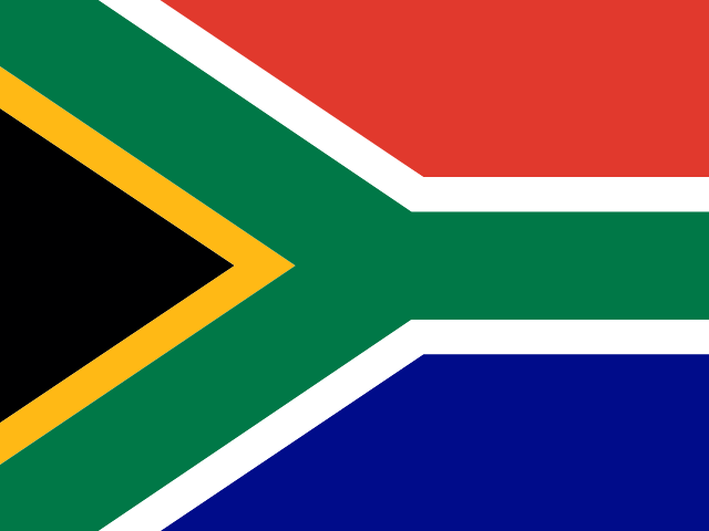 South AfricaPretoria
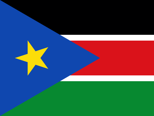 South SudanJuba
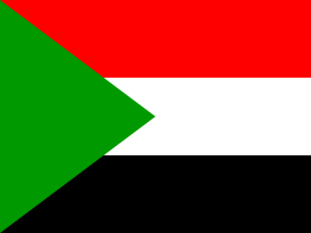 SudanKhartoum
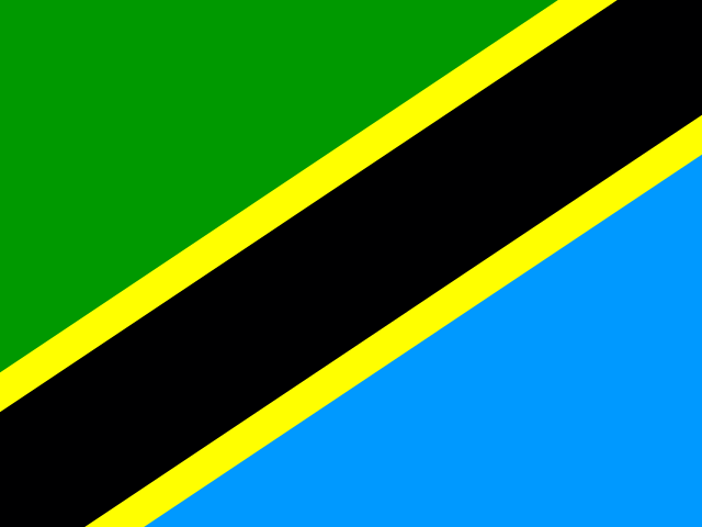 TanzaniaDodoma
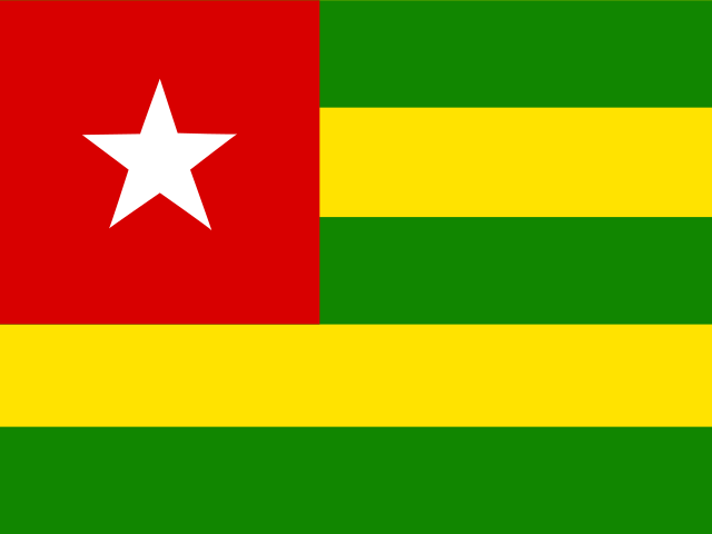 TogoLomé
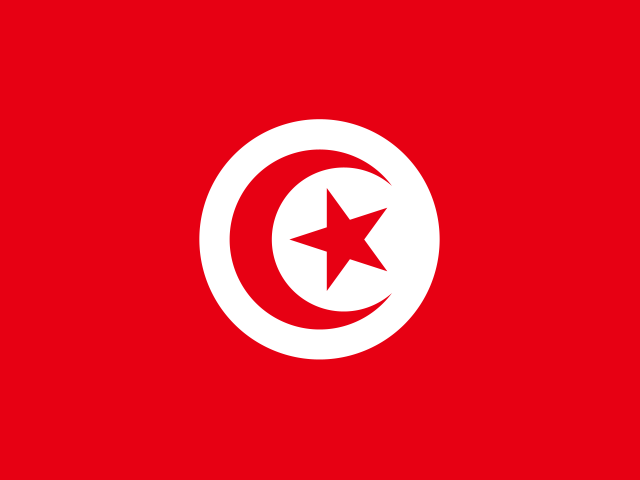 TunisiaTunis
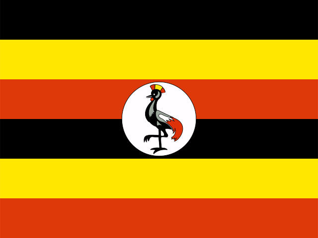 UgandaKampala
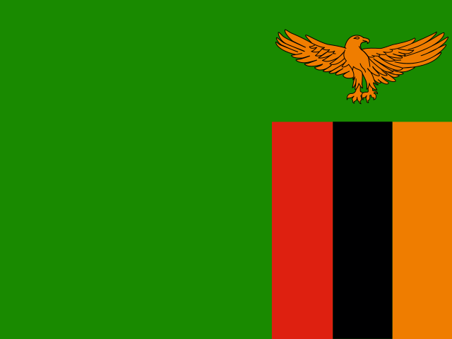 ZambiaLusaka
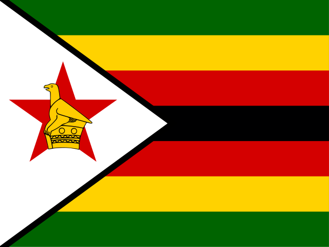 ZimbabweHarare
Asia48 countries
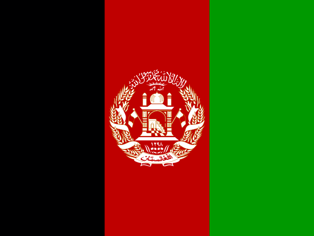 AfghanistanKabul
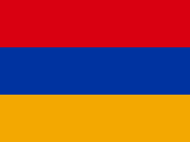 ArmeniaYerevan
 AzerbaijanBaku
 BahrainManama
 BangladeshDhaka
 BhutanThimphu
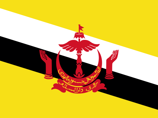 BruneiBandar Seri Begawan
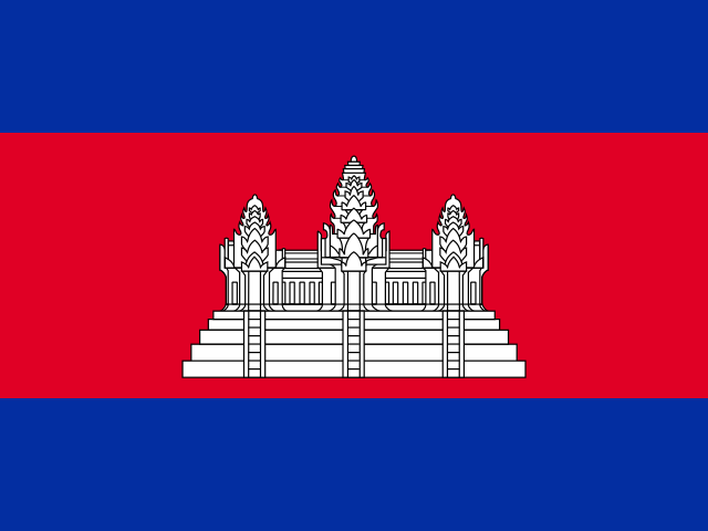 CambodiaPhnom Penh
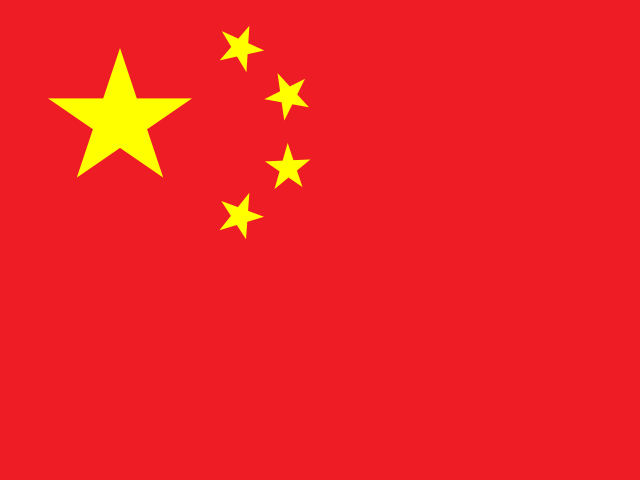 ChinaBeijing
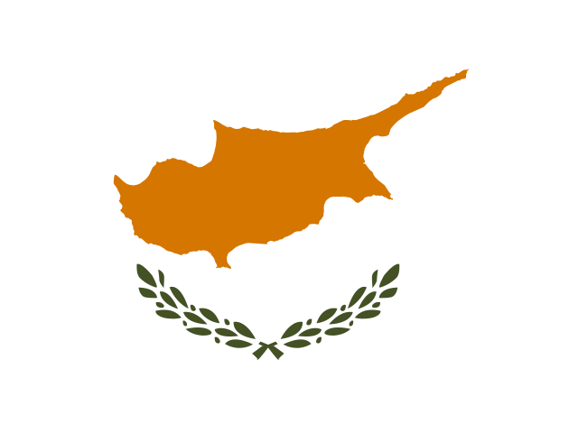 CyprusNicosia
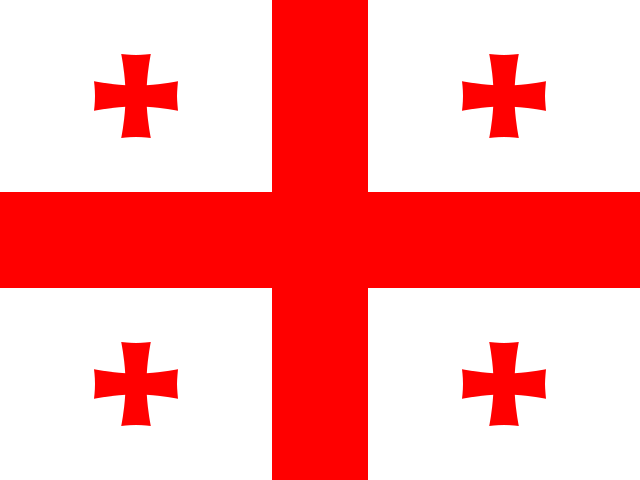 GeorgiaTbilisi
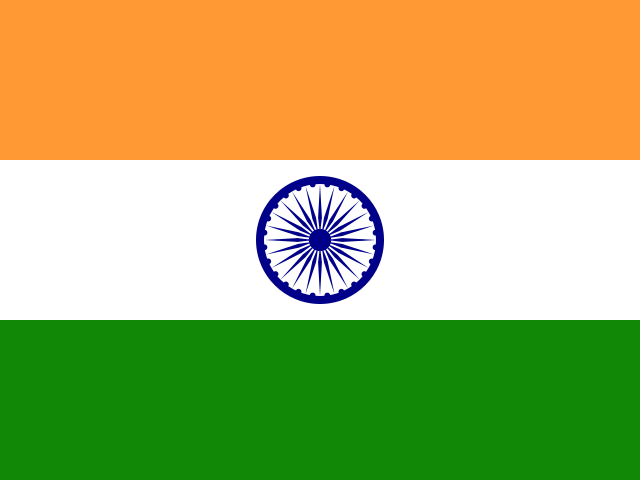 IndiaNew Delhi
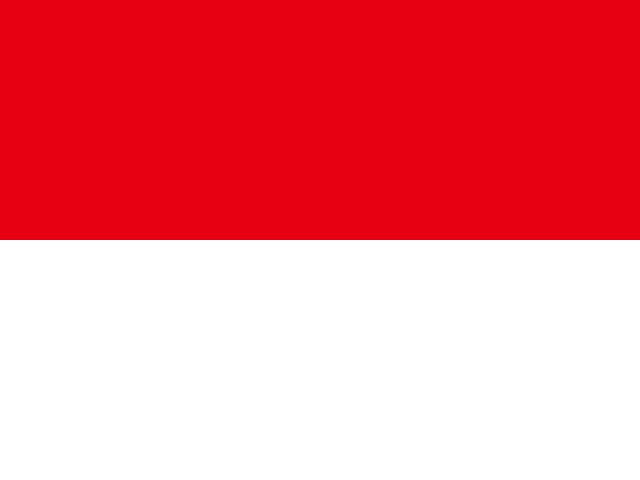 IndonesiaJakarta
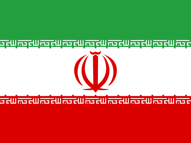 IranTehran
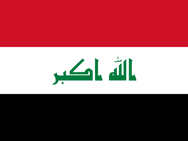 IraqBaghdad
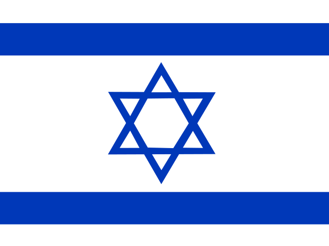 IsraelJerusalem
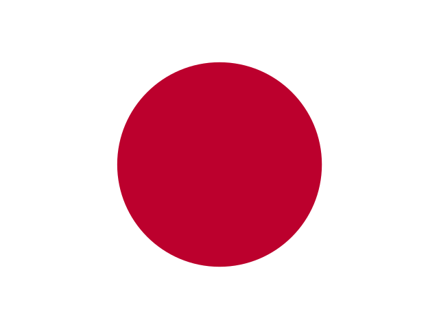 JapanTokyo
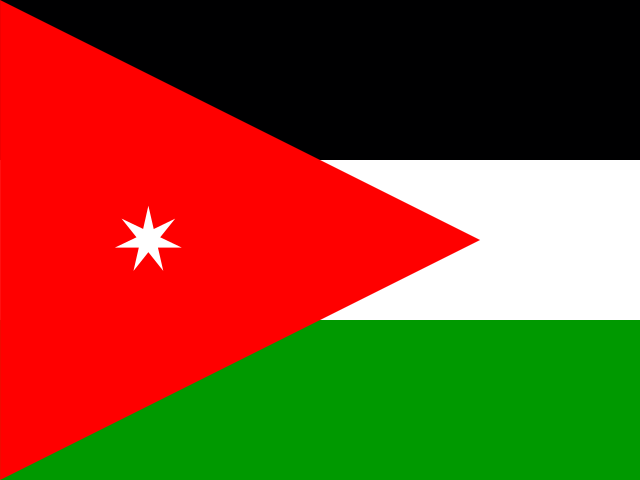 JordanAmman
 KazakhstanAstana
 KuwaitKuwait City
 KyrgyzstanBishkek
 LaosVientiane
 LebanonBeirut
 MalaysiaKuala Lumpur
 MaldivesMalé
 MongoliaUlaanbaatar
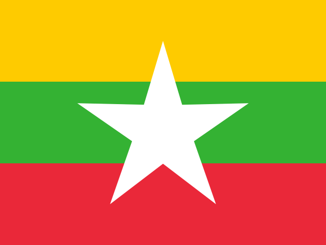 MyanmarNaypyidaw
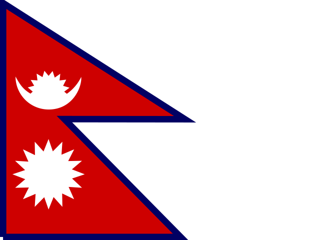 NepalKathmandu
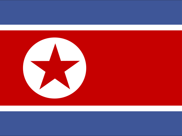 North KoreaPyongyang
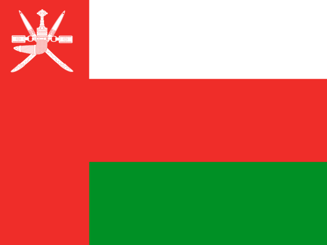 OmanMuscat
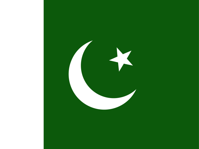 PakistanIslamabad
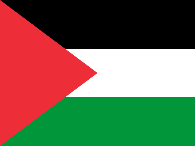 PalestineEast Jerusalem
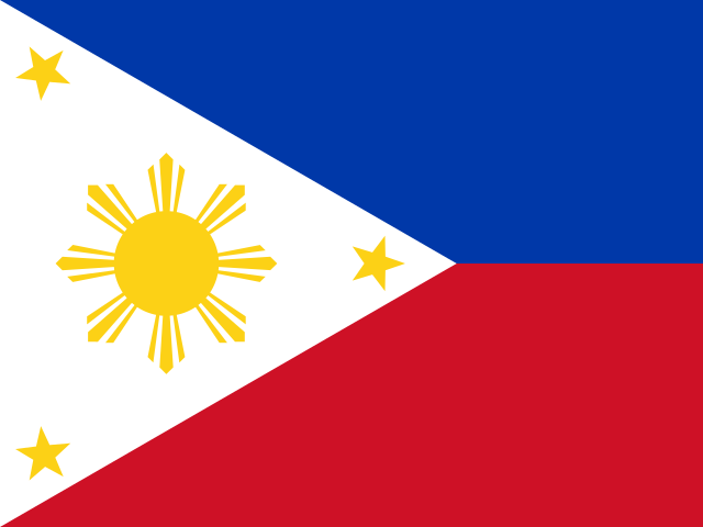 PhilippinesManila
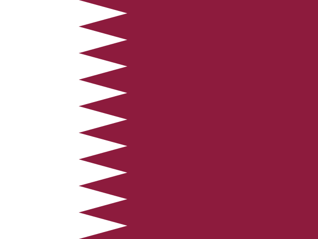 QatarDoha
 Saudi ArabiaRiyadh
 SingaporeSingapore
 South KoreaSeoul
 Sri LankaSri Jayawardenepura Kotte
 SyriaDamascus
 TajikistanDushanbe
 ThailandBangkok
 Timor-LesteDili
 TürkiyeAnkara
 TurkmenistanAshgabat
 United Arab EmiratesAbu Dhabi
 UzbekistanTashkent
 VietnamHanoi
 YemenSanaa
Europe44 countries
 AlbaniaTirana
 AndorraAndorra la Vella
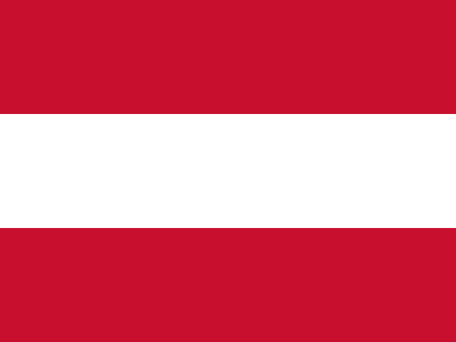 AustriaVienna
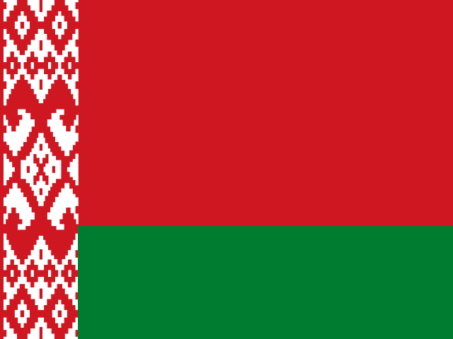 BelarusMinsk
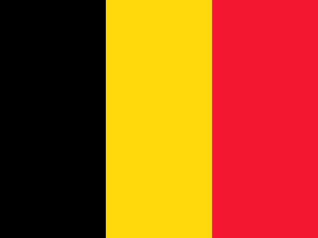 BelgiumBrussels
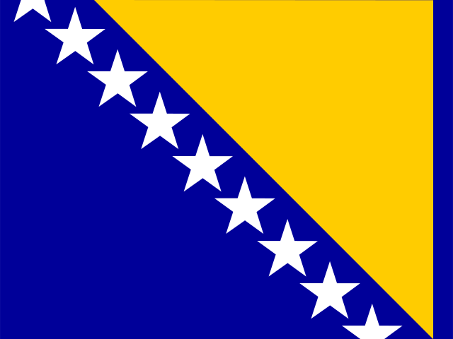 Bosnia and HerzegovinaSarajevo
 BulgariaSofia
 CroatiaZagreb
 CzechiaPrague
 DenmarkCopenhagen
 EstoniaTallinn
 FinlandHelsinki
 FranceParis
 GermanyBerlin
 GreeceAthens
 HungaryBudapest
 IcelandReykjavík
 IrelandDublin
 ItalyRome
 LatviaRiga
 LiechtensteinVaduz
 LithuaniaVilnius
 LuxembourgLuxembourg
 MaltaValletta
 MoldovaChișinău
 MonacoMonaco
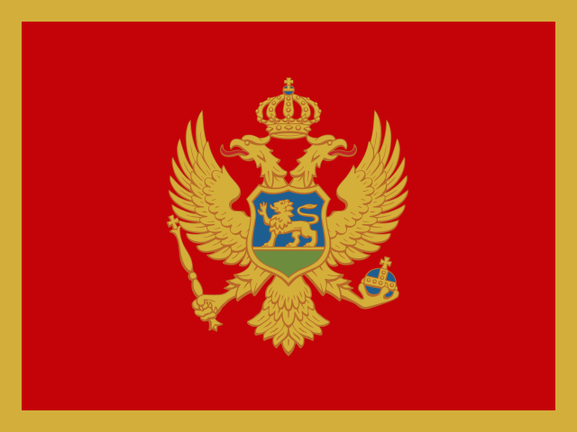 MontenegroPodgorica
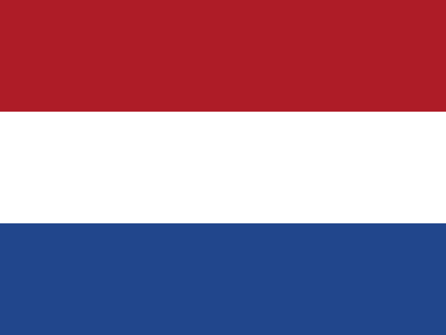 NetherlandsAmsterdam
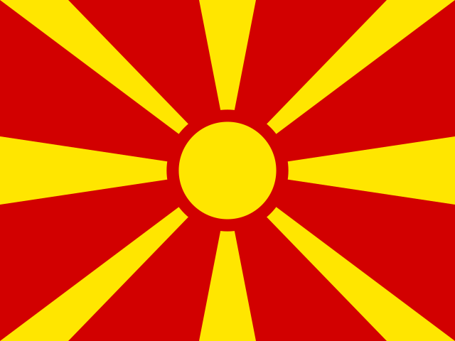 North MacedoniaSkopje
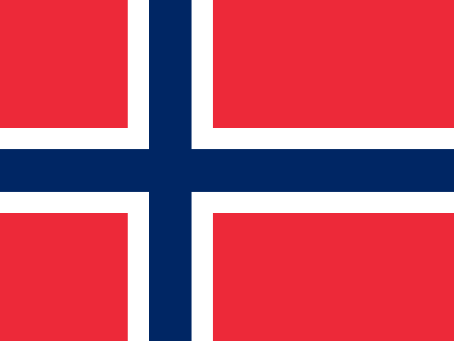 NorwayOslo
 PolandWarsaw
 PortugalLisbon
 RomaniaBucharest
 RussiaMoscow
 San MarinoSan Marino
 SerbiaBelgrade
 SlovakiaBratislava
 SloveniaLjubljana
 SpainMadrid
 SwedenStockholm
 SwitzerlandBern
 UkraineKyiv
 United KingdomLondon
 Vatican CityVatican City
North America23 countries
 Antigua and BarbudaSt. John's
 BahamasNassau
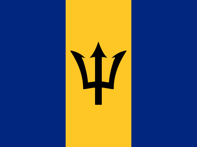 BarbadosBridgetown
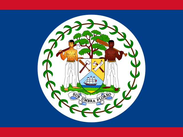 BelizeBelmopan
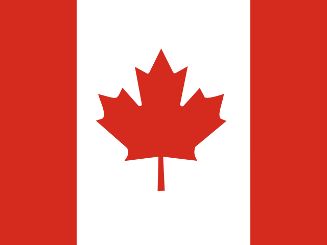 CanadaOttawa
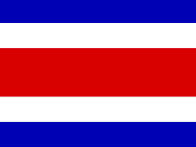 Costa RicaSan José
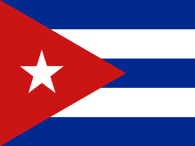 CubaHavana
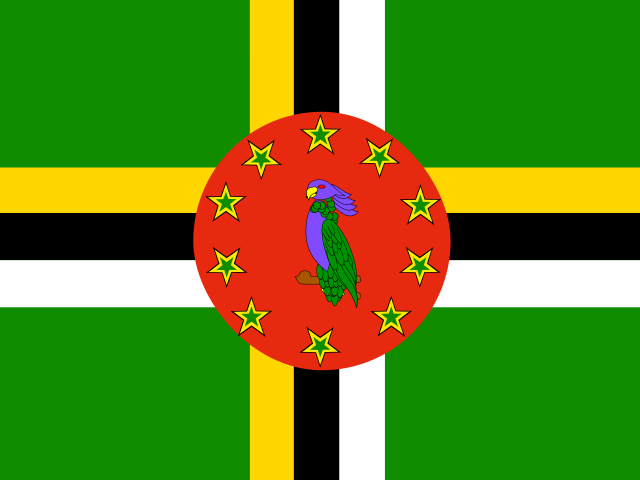 DominicaRoseau
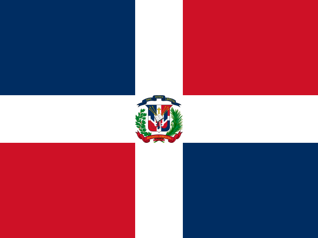 Dominican RepublicSanto Domingo
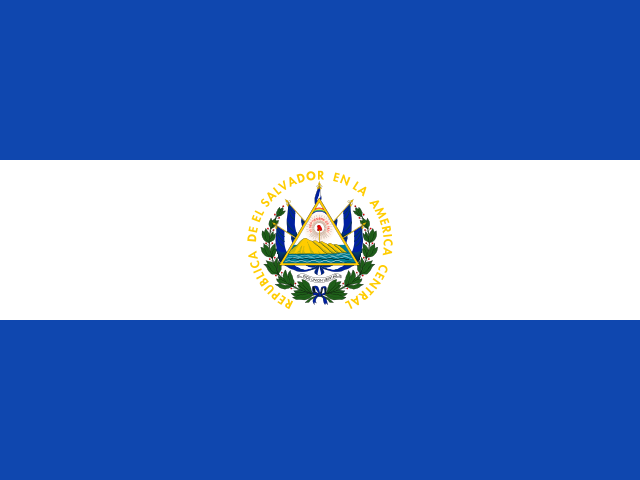 El SalvadorSan Salvador
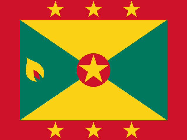 GrenadaSt. George's
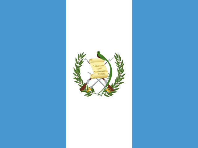 GuatemalaGuatemala City
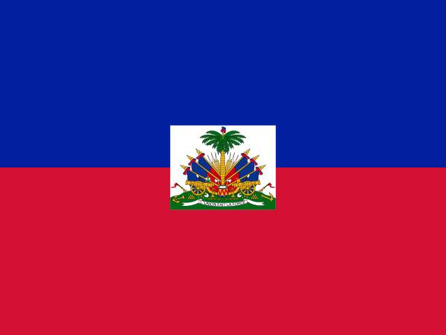 HaitiPort-au-Prince
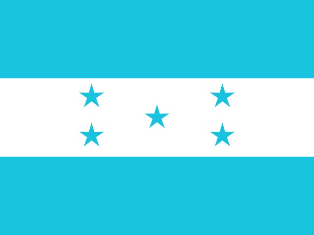 HondurasTegucigalpa
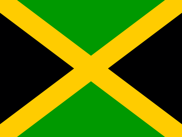 JamaicaKingston
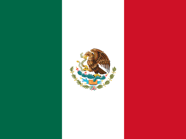 MexicoMexico City
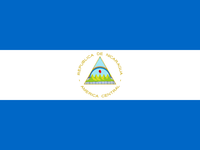 NicaraguaManagua
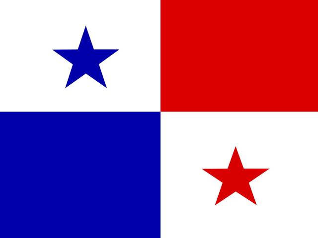 PanamaPanama City
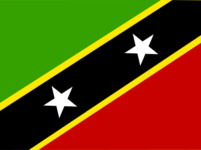 Saint Kitts and NevisBasseterre
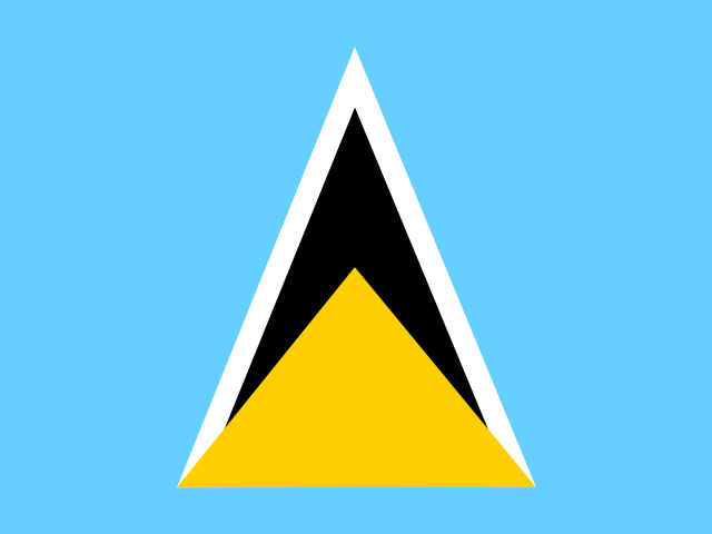 Saint LuciaCastries
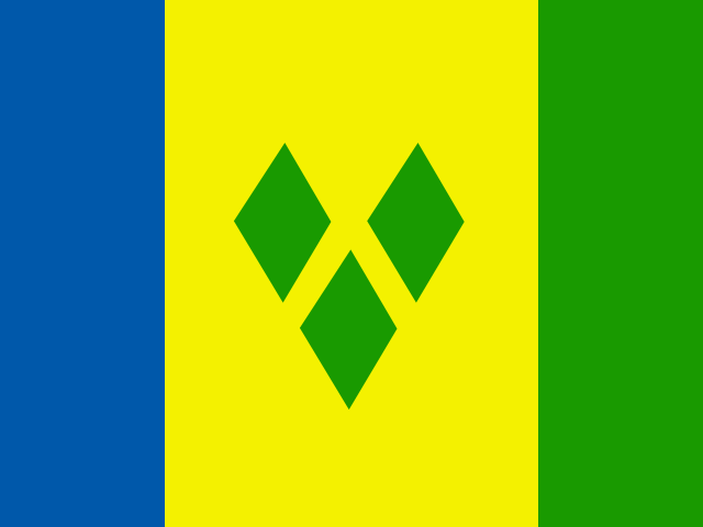 Saint Vincent and the GrenadinesKingstown
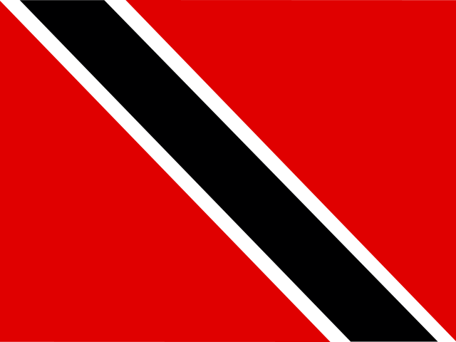 Trinidad and TobagoPort of Spain
 United StatesWashington, D.C.
South America12 countries
 ArgentinaBuenos Aires
 BoliviaSucre
 BrazilBrasília
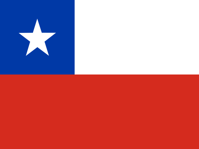 ChileSantiago
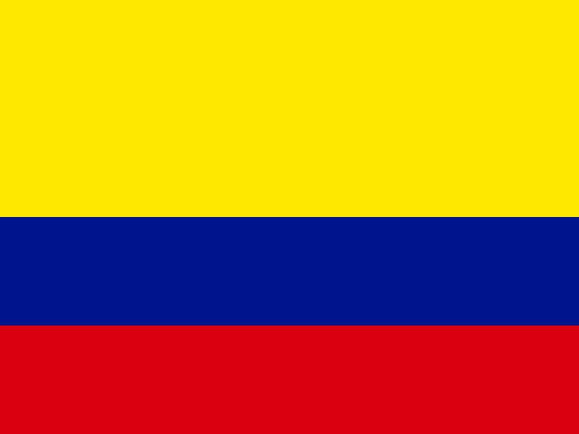 ColombiaBogotá
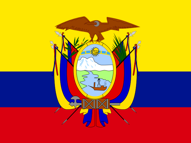 EcuadorQuito
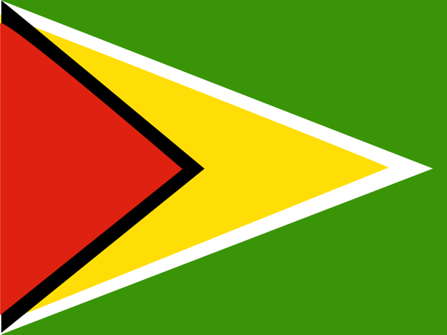 GuyanaGeorgetown
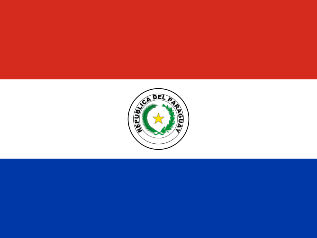 ParaguayAsunción
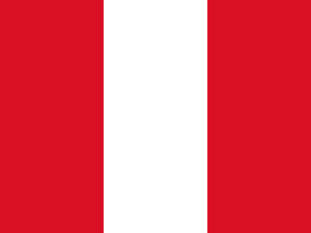 PeruLima
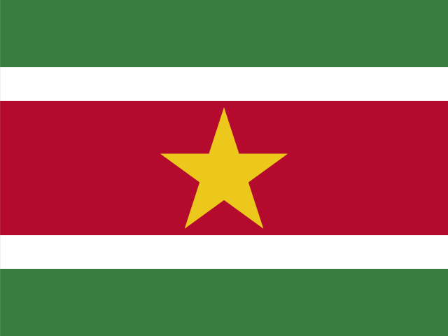 SurinameParamaribo
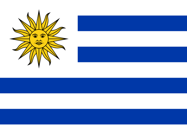 UruguayMontevideo
 VenezuelaCaracas
Oceania14 countries
 AustraliaCanberra
 FijiSuva
 KiribatiSouth Tarawa
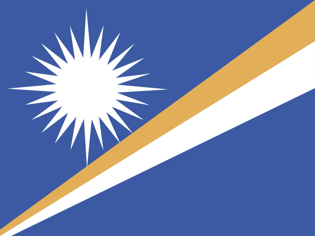 Marshall IslandsMajuro
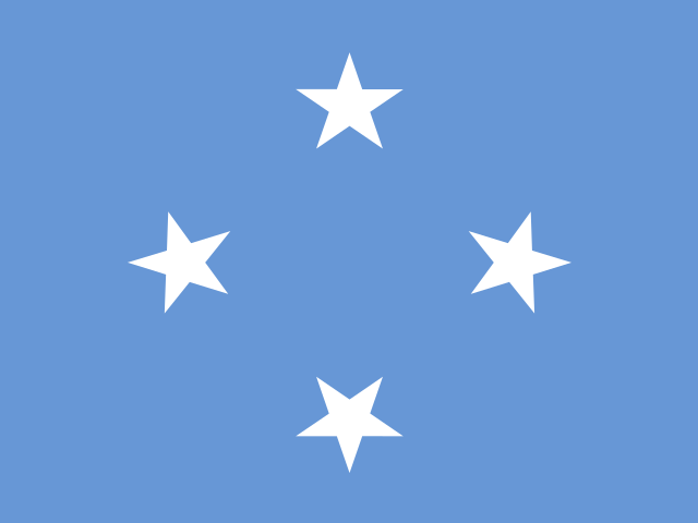 MicronesiaPalikir
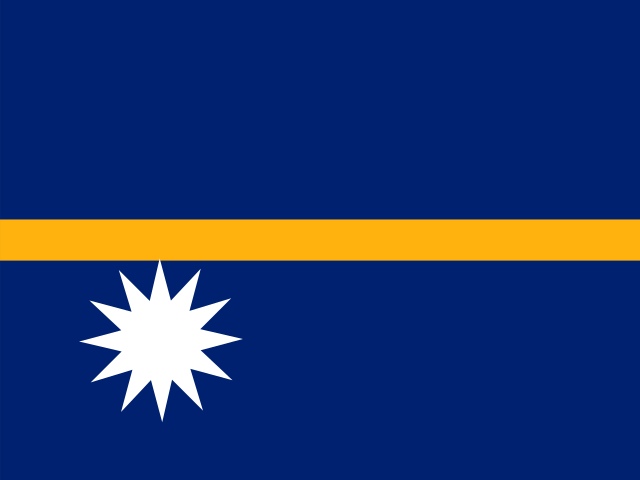 NauruYaren
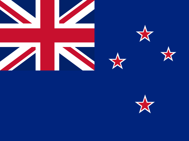 New ZealandWellington
 PalauNgerulmud
 Papua New GuineaPort Moresby
 SamoaApia
 Solomon IslandsHoniara
 TongaNukuʻalofa
 TuvaluFunafuti
 VanuatuPort Vila
How to use it
- Explore the mapDrag, pinch or scroll to zoom, or jump to a continent. Tap a country for its flag, capital, continent and sub-region. Type a name in English, Russian, Spanish or French and the map flies there. The smallest countries are dots that stay easy to tap at every zoom.
- Take the quizFind the country, name the country or find the capital, on the whole world or one continent, with 10, 20 or every question. Right answers turn green on the map; a miss shows where the country is. At the end, repeat only your mistakes.
- Print a blank mapThe blank map tab draws a clean outline map of the world or of one continent, with no labels, with names or with numbers. Print it on A4 or download it as an SVG file that stays sharp at any size.
About this map
The outlines come from Natural Earth at a scale of 1:110 million (public domain) and are drawn in the Equal Earth projection, which keeps every area true to scale: Africa, about fourteen times the size of Greenland, looks it. Twenty-nine countries are too small for an outline at this scale, among them Monaco, Vatican City, Malta and the Maldives; they are shown as dots at their capitals.
The list follows UN membership: the 193 member states and the two observer states, the Holy See and the State of Palestine. Continents follow the UN M49 regions, with the Americas split into North America (with Central America and the Caribbean) and South America. Territories and areas outside the UN list, such as Greenland, Western Sahara or Taiwan, are drawn as grey land with no name and no quiz question.
Questions
How many countries are on the map?
195: the 193 member states of the United Nations and its two observer states, the Holy See (Vatican City) and the State of Palestine. By continent: Africa 54, Asia 48, Europe 44, North America 23, South America 12 and Oceania 14. Russia is counted in Europe and Turkey in Asia, as in the UN regions.
How does the map quiz work?
Choose a mode: find a country by its name, name a highlighted country (type it or choose from four), or find the country of a capital. Pick the world or one continent and 10, 20 or every question; no question repeats within a round. Typed answers ignore case and accents and accept short names such as UK or DR Congo. Your best score and time for each setting stay in this browser.
How do I print a blank world map?
Open the blank map tab, choose the world or a continent and whether to show names, numbers or nothing, then press Print: only the map is printed, on A4 in landscape or portrait to fit. With numbers you can print a worksheet with empty lines or the answer key. Download SVG saves the same map as a vector file you can colour in any drawing app.
Why does this map look different from a school wall map?
Many wall maps use the Mercator projection, which stretches land towards the poles, so Greenland looks about as large as Africa although Africa is about fourteen times bigger. This map uses Equal Earth, an equal-area projection published in 2018, so the sizes of countries can be compared directly.
Sources
- Natural Earth — Admin 0 countries, 1:110m (public domain)
- Šavrič, Patterson & Jenny (2018), The Equal Earth map projection, IJGIS 33:3
- United Nations — Member States
- UN Statistics Division — Standard country or area codes (M49)
- Unicode CLDR — country names
- Wikidata — capitals and coordinates (CC0)
- flag-icons by Panayiotis Lipiridis (MIT License)
Related guides
- How many countries are there in the world? 195, and why other lists count moreThere are 195 countries: 193 UN member states plus the Holy See and Palestine. Why Taiwan or Kosovo change the count, and how many per continent.
- The 7 continents: names, sizes and how many continents there areThe 7 continents in order of size with their areas, why other countries count 6, 5 or 4, and how Russian schools split continents and parts of the world.
- Largest countries in the world by area: the top 10 in km²The 10 largest countries in the world by area in km², from Russia to Algeria, with UN figures, land versus water and why the US and China swap places.
- Smallest countries in the world: the top 10 by area, from Vatican City to MaltaThe 10 smallest countries in the world by area in km², from Vatican City at 0.44 km² to Malta, why microstates exist and how they show on a world map.
More tools
Geography