
The 7 continents: names, sizes and how many continents there are
Most English-speaking countries teach seven continents: Asia, Africa, North America, South America, Antarctica, Europe and Australia (often called Oceania), from largest to smallest. Asia covers about 44.6 million km² and Australia with Oceania about 8.5 million km². Other traditions count six, five or four, because continents are set by convention, not by one rule.
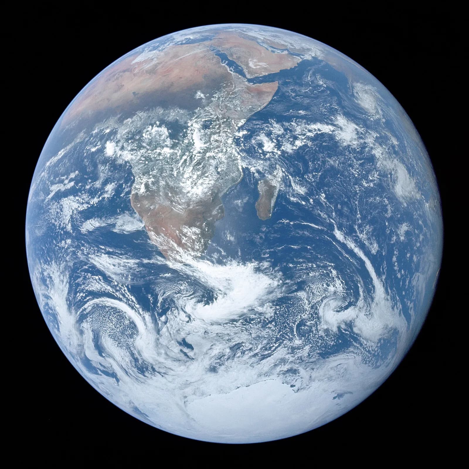
How many continents there are depends on where you went to school. This guide lists the seven continents with their areas, explains why Europe and Asia count as two although they share one landmass, sets out the six-, five- and four-continent models and the countries that use them, untangles the Russian distinction between a continent and a part of the world, and ends with a footnote on Zealandia. Then you can learn the continents and their countries on a free interactive world map.
Key ideas
- The seven continents from largest to smallest: Asia, Africa, North America, South America, Antarctica, Europe and Australia, also called Oceania.
- Asia covers 29.8% of Earth’s land and Africa 20.3%; Europe has 6.7% and Australia with Oceania 5.7%.
- Six-continent models join either the two Americas (taught in Greece and many Romance-speaking countries, including Latin America) or Europe and Asia as Eurasia (used mostly in Russia and parts of Eastern Europe).
- The five Olympic rings stand for the five inhabited continents of the one-America model; Antarctica is left out.
What are the 7 continents?
The seven continents, from largest to smallest, are Asia, Africa, North America, South America, Antarctica, Europe and Australia, the last often called Oceania. Using the land areas given by Encyclopaedia Britannica: Asia 44,614,000 km² (29.8% of Earth’s land), Africa 30,365,000 km² (20.3%), North America 24,230,000 km² (16.2%), South America 17,814,000 km² (11.9%), Antarctica 14,200,000 km² (9.5%), Europe 10,000,000 km² (6.7%) and Oceania 8,510,926 km² (5.7%). Together that is about 149.7 million km², all the land on the planet.
Continents are fixed by convention, not by one strict rule. Of the seven, only Antarctica and Australia are completely separated from the others by ocean. Africa meets Asia at the Isthmus of Suez, North America meets South America at the Isthmus of Panama, and Europe and Asia are two parts of a single landmass, Eurasia, divided by a line that people agreed on rather than by a sea.
The seven-continent model is taught in most English-speaking countries, including Australia, Canada, the United Kingdom and the United States, and also in Bangladesh, China, India, Indonesia, Pakistan, the Philippines, Sri Lanka, Suriname and parts of Europe and Africa. Its seventh continent goes by two names: Australia, for the mainland, or Oceania, for the region that adds New Zealand, Papua New Guinea and the Pacific islands. The area above is for Oceania in that wider sense.
How many continents are there: 7, 6, 5 or 4?
There are seven, six, five or four continents depending on the model, and each model is a choice about which land to join. The six-continent model with one America is taught in Greece and in many Romance-speaking countries, including most of Latin America. The six-continent model with Eurasia keeps North and South America apart but joins Europe and Asia, and it is used mostly in Russia and parts of Eastern Europe.
The five-continent count is the one on the Olympic flag. Its five rings stand for the five inhabited continents of the one-America model: Africa, America, Asia, Europe and Oceania, with uninhabited Antarctica left out. If you go further and count only land that is continuous, Africa, Asia and Europe form one block, Afro-Eurasia, and the world has four continents: Afro-Eurasia, America, Antarctica and Australia.
The seven-continent model is younger than many people think. From the late 18th century some geographers began to treat North and South America as two parts of the world, and Australia came to be seen as a continent of its own. Atlases printed in Europe usually kept one America, and so did many American atlases until the Second World War; from the 1950s most geographers in the United States divided the Americas into two, and adding Antarctica gave the seven-continent model.
What is the difference between a continent and a part of the world?
Russian geography keeps two lists, and both have six items. The six continents (materiki) are landmasses surrounded by seas and oceans: Eurasia, Africa, North America, South America, Australia and Antarctica. Their borders on land run along the Isthmus of Panama, between the two Americas, and the Isthmus of Suez, between Africa and Eurasia.
The six parts of the world (chasti sveta) are a historical and cultural division: Europe, Asia, Africa, America, Australia and Oceania, and Antarctica, sometimes taken with its surrounding seas and islands as the Antarctic. So one continent, Eurasia, holds two parts of the world, while one part of the world, America, holds two continents. The usual line between Europe and Asia follows the Ural Mountains, the Emba or Ural River to the Caspian Sea, the Kuma–Manych Depression or the crest of the Greater Caucasus to the Sea of Azov, and then the Black Sea, the Sea of Marmara and the Mediterranean; it is one of several conventions in use.
A footnote on Zealandia. In 2017 eleven geologists led by Nick Mortimer argued in GSA Today that a 4.9 million km² area of continental crust in the south-west Pacific, 94% of it under the sea, is a continent in its own right; New Zealand and New Caledonia are its highest ground. Some geologists dispute this, and it is a claim about the Earth’s crust, not a change to the continents taught at school.
How to learn the continents on a world map
The continents are easiest to learn country by country on a map. The free world map at VITON13 SCHOOL is interactive, drawn from Natural Earth outlines, and covers the 195 countries: the 193 UN members and the 2 observer states. Choose a continent in the filter and the map shows its countries; tap one to see its name, its capital and its flag. Very small states appear as dots, so the island countries of Oceania can be found too.
First, work through one continent at a time and look at where it begins and ends: Egypt, which reaches across the Isthmus of Suez, or Panama on the isthmus between the Americas. Then play the quiz “find the country on the map” for that continent and watch your score grow. Repeat until every continent feels familiar.
Last, print the blank outline map and colour each continent with its own pencil, then draw the Europe–Asia line along the Urals and the Caucasus. When you know where the countries are, learn their capitals with the world capitals list and trainer.
In everyday language
Continents are like the big rooms of a house that people agreed to name. Everyone sees the same land and the same seas, but some count Europe and Asia as one big room, Eurasia, and some count the two Americas as one. That is why the answer can be 7, 6, 5 or 4.
Try it yourself
Without looking, write the seven continents from largest to smallest. Then open the world map, choose each continent in the filter and tap three countries on each to see where it begins and ends.
Expected result
Asia, Africa, North America, South America, Antarctica, Europe, Australia (Oceania), and for each inhabited continent three countries with their names, capitals and flags.
Check your answer: Which two of the seven continents are completely surrounded by ocean?
Antarctica and Australia. Africa is joined to Asia at the Isthmus of Suez, North America to South America at the Isthmus of Panama, and Europe and Asia are one landmass.
Questions
Which is the largest continent?
Asia, with about 44.6 million km², close to 30% of Earth’s land. Africa is second with about 30.4 million km², and Australia with Oceania is the smallest at about 8.5 million km².
Is Australia a continent or a country?
Both. Australia is a country, and its mainland is the continental landmass of Oceania, which is why the seventh continent is called Australia in some books and Oceania in others.
The usual answer is 7 continents: Asia, Africa, North America, South America, Antarctica, Europe and Australia, though 6, 5 and 4 are taught too. Open the free VITON13 SCHOOL world map, pick a continent, tap its countries and play the quiz until you can place every one.
Sources and further reading
- Wikipedia: Continent (models in use, areas from Encyclopaedia Britannica) ↗Sources checked:
- Wikipedia (in Russian): Continent, with the six continents and six parts of the world of Russian geography ↗Sources checked:
- GSA Today (2017): Mortimer et al., Zealandia: Earth’s hidden continent ↗Sources checked: